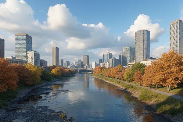
Weather and climate in North Dakota: Cold, snowy winters. Warm, humid summers. Frequent temperature swings. Severe storms possible. Average annual rainfall: 17 inches. Windy conditions typical. Risk of blizzards. Tornado occurrences. Low humidity levels. Pronounced seasonal changes.
Cold, snowy winters.
North Dakota's winters are known for their cold temperatures, with averages ranging from 2°F in the north to 17°F in the southwest, accompanied by significant snowfall that averages from 26 to 38 inches annually. The state faces harsh winter conditions, which include blizzards, freezing rain, and extreme cold. Notably, temperatures as low as -60°F have been recorded. For more comprehensive details on the region's climate, you can explore the Climate Of North Dakota page.
Warm, humid summers.
In North Dakota, summers are characterized by warm and humid conditions, especially in the eastern part of the state. July stands out as the warmest and sunniest month, with temperatures averaging from 66°F in the northeast to 72°F in the south, allowing the state to receive more hours of sunshine compared to any other state along the Canadian border. Rain is the primary form of precipitation during this season, with June being the wettest month, and thunderstorms frequently occur due to the formation of cumulonimbus clouds. For more detailed information, visit the North Dakota Studies website which provides a comprehensive overview of the state's summer climate.
Frequent temperature swings.
North Dakota is known for its frequent and significant temperature swings, characteristic of a continental climate. The state experiences large diurnal temperature variations, especially during the transitional months of April and October, with temperature changes of up to 40 degrees or more in a single day, and even record-breaking 24-hour temperature variations of up to 50 degrees or more. For more detailed information, you can visit the North Dakota Game and Fish Department's website which provides insights into these climatic patterns and their impact on local wildlife and habitats.
Severe storms possible.
North Dakota is at risk for severe storms, which can produce damaging winds up to 60 miles per hour, torrential rainfall leading to flash flooding, and hail up to quarter size, although tornadoes are unlikely. These storms can form in the afternoon and continue into the evening, with areas like western North Dakota being at a higher risk. For more detailed updates and safety information, visit the US 103.3 website for the latest forecasts and advice on how to stay safe during these conditions.
Average annual rainfall: 17 inches.
North Dakota receives an average of 17 inches of precipitation annually, with amounts ranging from around 14 inches in the west to 22 inches in the east, reflecting the state's transition from a semi-arid to a Humid Continental Climate.
Windy conditions typical.
North Dakota is characterized by windy conditions, with average wind speeds ranging from 10 to 13 mi/hr, and the air is rarely calm. The windiest months are April and May, while July and August are the calmest, with prevailing wind directions varying by season and region. For more detailed information, the North Dakota State Climate Office provides a comprehensive analysis of these climatic conditions. The North Dakota State Climate Office delves into these atmospheric patterns across different periods, highlighting seasonal variations and regional differences.
Risk of blizzards.
North Dakota is at high risk for blizzards, characterized by heavy snow, gusty winds, and reduced visibility, with events like the November 2022 blizzard setting new snow records and causing treacherous travel conditions. Blizzards in the state can include both snowfall with high winds and ground blizzards where existing snow is blown around, reducing visibility. These severe weather conditions were extensively reported and analyzed on AccuWeather, highlighting the challenges faced during such extreme weather events in the region.
Tornado occurrences.
North Dakota experiences an average of 21 to 32 tornadoes per year, with most occurring during the summer months of June, July, and August. The majority of these tornadoes are weak, rated as EF0, but the state has also seen more severe tornadoes, including a few F5 tornadoes, notably the Fargo-Moorehead tornado in 1957. For more detailed information on this topic, visit Tornado Alley to understand the dynamics of tornado occurrences in North Dakota.
Low humidity levels.
In North Dakota, low humidity levels are typically observed in the afternoons, with average relative humidity readings ranging from 50.5% in Bismarck to 57.6% in Fargo at 3 PM local standard time. The western part of the state, such as Williston, experiences even lower humidity, with afternoon readings as low as 50.7%. For more detailed information on this topic, you can visit the Current Results Website.
Pronounced seasonal changes.
North Dakota's climate is characterized by pronounced seasonal changes, with long, cold winters and short, hot summers, reflecting its continental climate. The state experiences significant temperature extremes, with January being the coldest month and July the warmest. Precipitation varies across the state, with the eastern part receiving more moisture than the western part. For a deeper exploration of these climatic phenomena, you can visit the Geography and Climate of North Dakota page, which provides a detailed overview of how these factors influence agriculture and daily life in the region.
